
Where to Live Near Fort Belvoir (2026)The closest towns, the drive, the VRE and the home prices
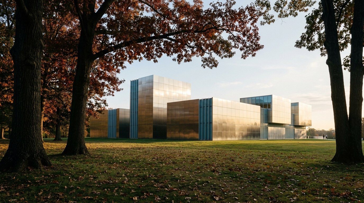
National Museum of the U.S. Army· Fort Belvoir, Fairfax County
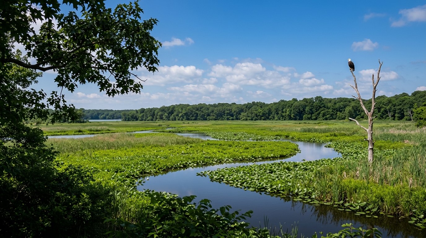
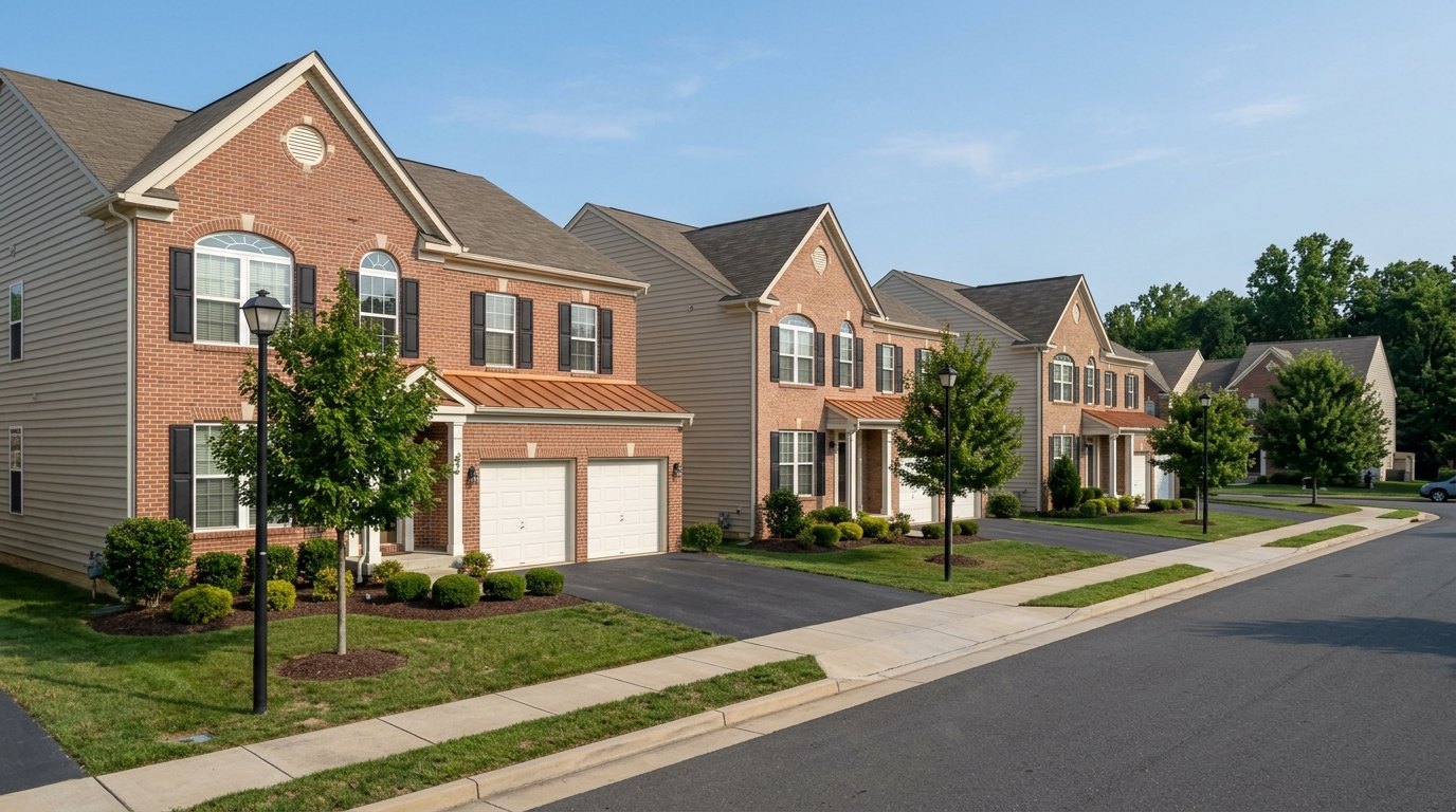
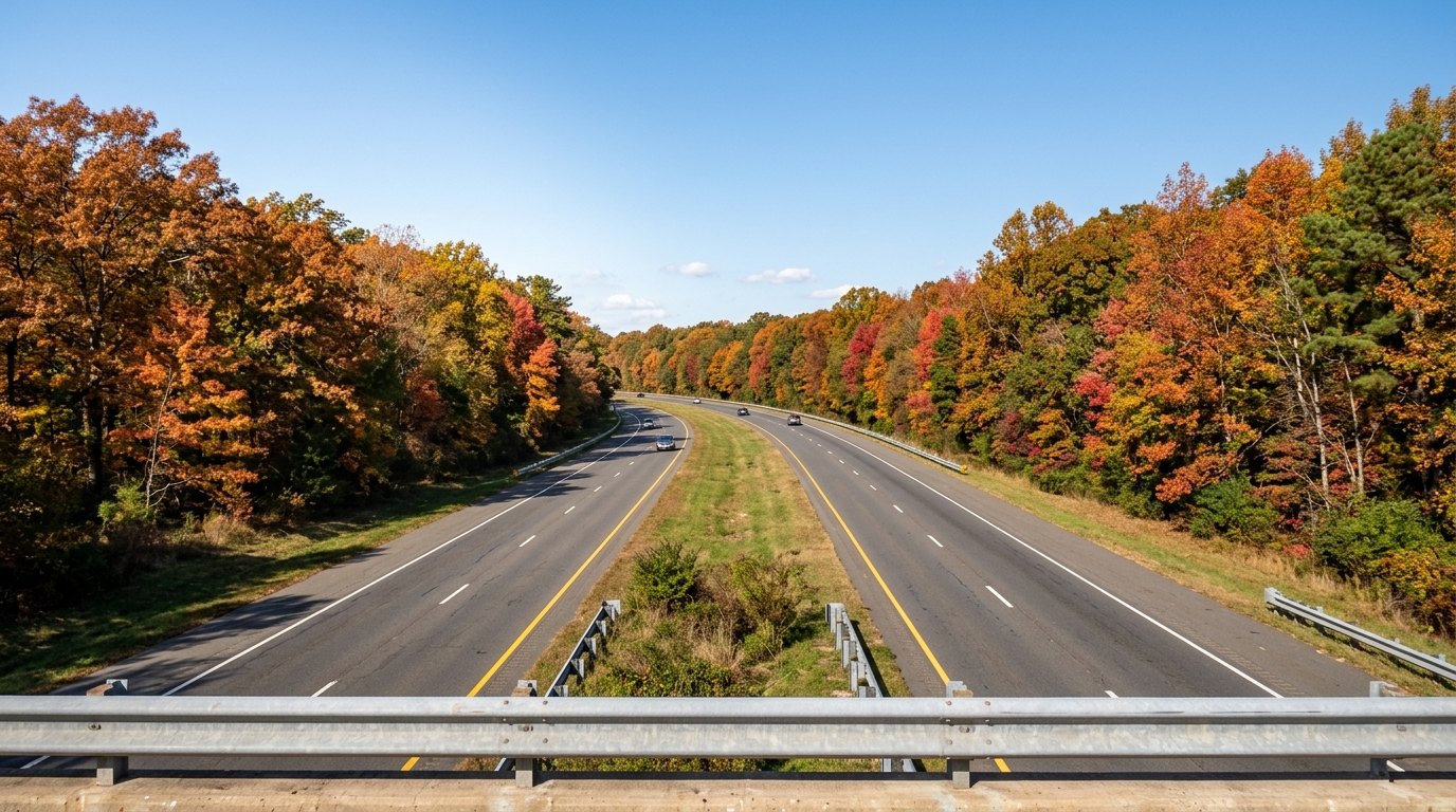
Artist’s renderings of real Northern Virginia places.
Last updated October 15, 2026Bright MLS closed sales (Ahmed’s own pulls), OpenStreetMap routing, Fairfax Connector, Fairfax County, WMATA, VRE and the Fort Belvoir garrisonAbout a 6-minute read
Quick answer
The closest towns in this guide to Fort Belvoir, by drive time with no traffic, are Lorton (9 min, 4.7 mi), Alexandria (13 min, 5.8 mi) and Woodbridge (15 min, 8.2 mi).2 No Metro or VRE station is on the post, so riders finish by bus; Fairfax Connector route 335 runs at weekday rush hours from Franconia-Springfield Metro and VRE to Fort Belvoir.3 Among the 14 guide towns within 30 minutes, the median house price runs from $610,000 in Woodbridge to $1,685,000 in City of Falls Church, and the lowest median townhouse price is $400,000, in Triangle.1

Fort Belvoir in four numbers
Drive times with no traffic; home prices from Bright MLS, 2026
Closest towns
The towns closest to Fort Belvoir, with their home prices.
Every guide town within 30 minutes of Fort Belvoir with no traffic, closest first, with its 2026 median sale price. Switch between single-family houses and townhouses. Tap a town for its full guide: schools, taxes and more.
- 1LortonFairfax9 min4.7 mi$930,000105 sold$550,000102 sold
- 2AlexandriaFairfax13 min5.8 mi$885,000782 sold$650,000460 sold
- 3WoodbridgePrince William15 min8.2 mi$610,000721 sold$472,000539 sold
- 4SpringfieldFairfax15 min8.3 mi$828,857455 sold$630,000241 sold
- 520 min9.4 mi$1,350,000219 sold$915,000408 sold
- 6AnnandaleFairfax21 min12.2 mi$925,000251 sold$627,00072 sold
- 7BurkeFairfax22 min11.4 mi$925,000184 sold$616,000152 sold
- 8Fairfax StationFairfax26 min13.6 mi$1,245,000158 soldNo townhouse sales
- 9DumfriesPrince William26 min16.9 mi$675,000198 sold$517,500184 sold
- 10Falls ChurchFairfax27 min16.8 mi$1,055,000377 sold$774,00078 sold
- 11TrianglePrince William27 min18.5 mi$662,50044 sold$400,00020 sold
- 12City of FairfaxIndependent city29 min17.3 mi$820,000121 sold$867,50042 sold
- 1329 min17.7 mi$1,406,000656 sold$1,050,000126 sold
- 14City of Falls ChurchIndependent city30 min18.5 mi$1,685,00053 sold$1,215,00021 sold
Drive time: the fastest route with no traffic, from each town’s center point to Fort Belvoir, on OpenStreetMap roads (OSRM), October 15, 2026. Median sale price: single-family houses (3+ bedrooms, 2+ full baths) and townhouses, no condos, closed sales January 1 to October 2, 2026 (towns marked to October 3), Bright MLS Townhouse medians are shown only where 10 or more sold.
Drive-time map
How far each town is from Fort Belvoir, at a glance.
Darker towns are closer. The star marks Fort Belvoir.
- Within 10 minutes: Lorton.
- 11 to 20 minutes: Alexandria, Woodbridge, Springfield, City of Alexandria.
- 21 to 30 minutes: Annandale, Burke, Fairfax Station, Dumfries, Falls Church, Triangle, City of Fairfax, Arlington, City of Falls Church.
- Rush hour is different. These are drive times with no traffic, from each town’s center point. At rush hour the same trip can take much longer, so check a live map for your own address and start time before you choose.
Hover over or tap a town to see its drive time.Open its guide
- Up to 10 min
- 11 to 20 min
- 21 to 30 min
- 31 to 45 min
- Over 45 min
- ★Fort Belvoir
Getting there
Getting to Fort Belvoir without a car.
Fort Belvoir has no Metro or VRE station, so every train trip ends with a bus. Drive times on this page are measured to Pence Gate on Route 1, which the garrison lists as closed until further notice.4
METRO + BUSFranconia-Springfield, then the Eagle.
Fairfax Connector route 335, “Fort Belvoir – The Eagle,” runs at weekday rush hours between Franconia-Springfield Metro and VRE and Fort Belvoir, by way of Telegraph Road and Beulah Street.3 Franconia-Springfield is the end of the Blue Line and a Fredericksburg Line VRE stop, with 5,069 all-day Metro parking spaces.5,6
BUSRoute 1 and Fort Belvoir North.
Fairfax Connector route 171 runs along Richmond Highway between Huntington Metro and Lorton VRE; its stop list names the Defense Logistics Agency but not Fort Belvoir, so check the stop you need.7 Fort Belvoir North, a separate site from the main post, is served by routes 340 and 341, and the garrison says Springfield is its closest VRE station.4
PLANNEDBus rapid transit is coming.
Fairfax County’s Richmond Highway Bus Rapid Transit, “The One,” will run from Huntington Metro to Fort Belvoir with nine stations. The county’s transportation department expects it to open by late 2033, with road and station construction starting in 2028.8
GATESPence Gate is closed.
The garrison lists Pence Gate on Route 1 as “Closed until further notice.” Tulley Gate is open around the clock, Lieber Gate 6 a.m. to 6 p.m. daily, and Kingman Gate 6 a.m. to 7 p.m. on weekdays. The Visitor Center is in Building 1409, 9500 Pohick Road.4
DRIVECarpool free on the I‑95 Express Lanes.
VDOT says vehicles with three or more people ride the I-95 Express Lanes free with an E-ZPass Flex set to HOV mode.9 The reversible lanes run north on weekday mornings, 2:30 to 11 a.m., and south from noon.10
About the job center
Who works at Fort Belvoir.
Fort Belvoir is an Army installation in southern Fairfax County, between Route 1 and the Potomac. InsideNova reported in March 2024 that over 17,000 Defense Department civilians work on the installation, along with over 1,000 contractors.11 The Army publishes no full workforce count; its garrison commander has said more than 200,000 people there need support each day, which is not a count of workers.12 See the largest employers in Northern Virginia for the full list.
From Ahmed
Pick the commute first, then the house.
When a new job starts the search, I begin with the trip to work: which towns are close, which have a train or bus that goes there, and what homes cost in each. Then we look at houses in the towns that pass that test.
If you will work at Fort Belvoir, I can walk you through the towns and the numbers around it, in English or Arabic.
Questions
What people ask about living near Fort Belvoir.
What is the closest town to Fort Belvoir?
In this guide, Lorton is the closest: about 9 minutes and 4.7 miles by car with no traffic, from the town’s center point. Next come Alexandria (13 minutes) and Woodbridge (15 minutes). Times are from OSRM routing on OpenStreetMap roads, October 15, 2026.
How much are homes near Fort Belvoir?
Among the 14 guide towns within 30 minutes with no traffic, the median single-family house price runs from $610,000 in Woodbridge to $1,685,000 in City of Falls Church, from Bright MLS closed sales, January 1 to October 2, 2026 (a few towns a day or two later). The lowest median townhouse price in that group is $400,000, in Triangle. A median is the middle sale: half sold for more and half for less.
Are these drive times to Fort Belvoir with traffic?
No. They are the fastest route with no traffic, from each town’s center point, so they are best for comparing towns with each other. Rush-hour trips take longer. Check a live map for your own address and start time.
Is there a Metro station at Fort Belvoir?
No. No Metro or VRE station is on the post. Fairfax Connector route 335 runs at weekday rush hours from Franconia-Springfield Metro and VRE to Fort Belvoir (Fairfax County, read October 15, 2026).
Which Fort Belvoir gates are open?
As of October 15, 2026, the garrison lists Pence Gate on Route 1 as closed until further notice. Tulley Gate is open 24 hours, Lieber Gate 6 a.m. to 6 p.m. daily, and Kingman Gate 6 a.m. to 7 p.m. on weekdays. Check the garrison’s gate page before you go.
Will bus rapid transit reach Fort Belvoir?
It is planned. Fairfax County’s Richmond Highway Bus Rapid Transit, called The One, will run from Huntington Metro to Fort Belvoir with nine stations. The county’s transportation department expects it to open by late 2033, with road and station construction starting in 2028.
Your next step
Working at Fort Belvoir? Let’s find the home that fits the commute.
Tell me where you will work, how you want to get there and when you start. I answer in English or Arabic, with real numbers, not a pitch.
اقرأ هذه الصفحة كاملة بالعربية ←
وكيلك العقاري الموثوق في شمال فرجينيا.
Keep exploring
Living near the other big job centers.
The Pentagon
The closest towns, the drive and the home prices.
Read the guideLiving near workQuantico
The closest towns, the drive and the home prices.
Read the guideLiving near workTysons
The closest towns, the drive and the home prices.
Read the guideLiving near workReston Town Center
The closest towns, the drive and the home prices.
Read the guideLiving near workAmazon HQ2
The closest towns, the drive and the home prices.
Read the guideKeep reading
- Living hereLargest employersWho employs the most people in Northern Virginia, and where the new jobs are.
- Fairfax CountyLortonTown guide: prices, schools and commute.
- Fairfax CountyAlexandriaTown guide: prices, schools and commute.
- Monthly reportHousing market reportThe NoVA Index: what homes sold for, month by month.